

This guide uses the seven broad destination groupings presented by Visit Portugal: Porto and the North, Centro de Portugal, Lisboa Region, Alentejo, Algarve, Madeira and the Azores. These are useful travel groupings rather than a substitute for Portugal’s current statistical or administrative divisions. Use them to choose a coherent route, then check actual connections and the location of your accommodation.
How to read the Portugal map
The large panel shows the mainland with Spain to its east and the Atlantic to its west. Porto, Coimbra, Lisbon, Évora and Faro are orientation points, not a complete list of places worth visiting. They help explain the north–south structure of a mainland route. Inland roads, river valleys and mountain terrain can make a short-looking distance slower than expected; a line between two city markers is not a transport timetable.
The island panels have separate scales. The Azores panel identifies all nine inhabited islands, while the Madeira panel distinguishes Madeira, Porto Santo and the Desertas. The small Selvagens islands farther south are outside the Madeira inset. This is an overview for selecting regions, not a walking, nautical or driving map. Download the relevant official trail or road information for the actual journey.
Porto and the North: city culture, the Douro and mountain country
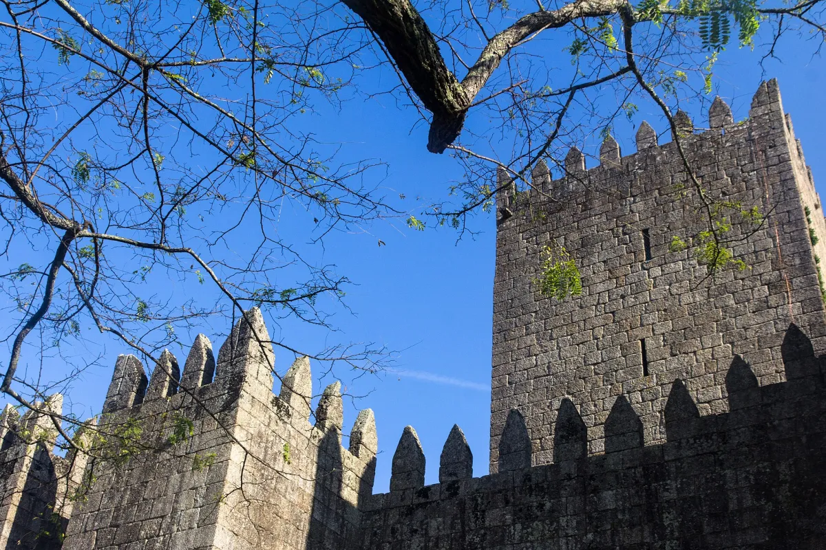

Porto makes a practical city base for riverfront walks, architecture and trips with a specific transport plan. Braga and Guimarães provide different historic settings inland and northeast of the city. The northern coastline, Douro Valley and Peneda-Gerês mountain area are separate geographic choices: spending several nights in Porto does not automatically make all of them convenient day trips.
Choose the north if your priorities include a city stay combined with wine-country scenery or a focused nature visit. For the Douro, distinguish a train journey along the valley from a rural accommodation stay and from a winery appointment. Each creates a different last-mile problem. For Peneda-Gerês, choose a gateway and walking area before reserving a property described only as “near the park.” Northern Portugal is large enough to deserve its own itinerary.
Centro de Portugal: Coimbra, interior towns and Serra da Estrela
Centro sits between the northern and Lisbon parts of a mainland journey and extends from the coast into the interior. Coimbra offers a useful cultural stop; Aveiro has a different coastal setting; towns farther inland suit a slower regional route. Serra da Estrela brings mountain terrain and seasonal conditions that are quite different from a coastal city break.
Decide whether Centro is a stop between major cities or the main focus of the trip. A rail-connected city pair can work without a car, while a village and mountain circuit may require more careful transport planning. Check the exact arrival station and onward journey. A property in a quiet rural location can be appealing but inconvenient if every meal and excursion requires a drive you did not budget for.
Lisboa Region: Lisbon, Sintra and the coast
Lisbon is the capital and a strong base for a first mainland visit. Sintra lies to the west and northwest of the city; Cascais is on the coast. These places are related geographically but offer different days: city neighbourhoods, a hilltop heritage visit and time beside the sea. Avoid treating them as three quick stops to fit between airport arrival and dinner.
Use the existing Lisbon Travel Guide for local neighbourhood and sightseeing decisions. At country level, the useful question is how many nights to give this region before moving on. If Sintra is a priority, protect a full day and check the current monument booking requirements and local transfer. If beaches matter, compare the specific coast, season and return connection rather than assuming all Lisbon-area shores have the same access.
Alentejo: Évora, inland landscapes and the Atlantic coast
Alentejo covers a broad southern mainland area between the Lisbon/Centro parts of a route and the Algarve. Évora is one possible cultural base, but the region also includes inland towns and a distinct Atlantic coastline. A stay near Évora is not the same travel product as a stay on the southwest coast.
Choose a compact part of Alentejo when you want quieter town visits, landscape, regional food or a slower road itinerary. Compare actual driving needs, meal options and summer conditions before choosing remote accommodation. A rural property may offer space and calm while increasing your dependence on a vehicle. Pair places that are close enough for relaxed days; do not build the route solely around a collection of attractive hotel photographs.
Algarve: choose a coast and a base, not just a region
The Algarve lies along the southern mainland coast. Faro is an arrival and orientation point; western coastal stays around Lagos or Sagres create a different route from eastern Algarve stays around Tavira. The region includes beaches, towns, inland areas and protected coastal environments, with meaningful differences in transport and atmosphere.
For a beach holiday, check the exact beach approach, swimming conditions and distance from the accommodation. For a trip using public transport, compare a town with usable daily services against a resort outside it. A late arrival at Faro Airport can also change the most practical first night. Keep detailed beach selection in Portugal Beaches and specific property comparisons in Portugal Hotels.
Madeira: a separate island plan
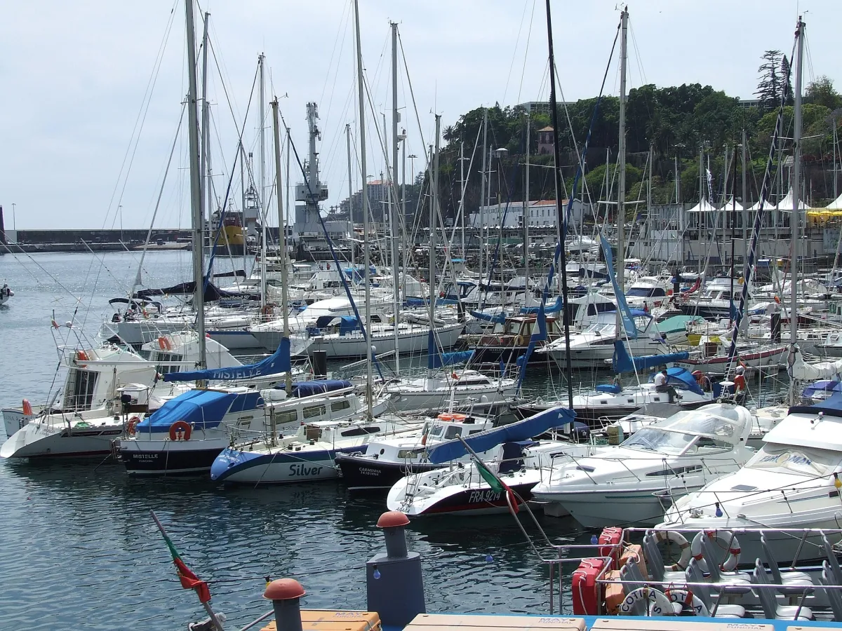

Madeira is an Atlantic archipelago, with Madeira island and Porto Santo offering different visitor experiences. Funchal is on Madeira’s south coast. Mountain walking, coastal viewpoints and visits across the island require planning beyond a city hotel location. Porto Santo is a separate island; check the actual flight or ferry service and allow for the complete journey.
Choose Madeira for a focused island stay rather than a rushed addition to several mainland bases. Weather and mountain access can differ from the coast on the same day. Before selecting walking routes, use the official Madeira hiking information for reservations and trail status. A map shows where a route sits, but cannot establish whether it is open or suitable for your group.
The Azores: nine islands and three island groups
The Azores consist of nine inhabited islands spread across the Atlantic. Flores and Corvo form the western group; Faial, Pico, São Jorge, Graciosa and Terceira form the central group; São Miguel and Santa Maria form the eastern group. The map’s spread is a useful reminder that “the Azores” is not one compact island you can explore from a single hotel.
São Miguel can support a first island stay; another island may suit a specific landscape, walking or cultural interest. Select the island before the accommodation and then verify the transport for your dates. Seasonal ferry availability and inter-island flights require current checking. Leave a realistic margin before an international departure, especially when the preceding night is on a different island. Use official Azores trail information for walking plans.
Compare geographic choices for your trip
| Trip focus | Regions to compare | Main decision |
|---|---|---|
| First mainland culture trip | Lisboa Region, Centro, Porto and the North | Choose city bases and protect transfer days |
| Beach-focused mainland stay | Algarve or a specific Atlantic coastal area | Match the shore, season and accommodation access |
| Slower rural journey | A compact part of Alentejo, Centro or the North | Decide whether a car improves the actual route |
| Mountain and island nature | Madeira or selected Azores islands | Choose the island and check walking access and connections |
Turn the map into a workable route
Start with one main interest and the arrival gateway that serves it. Add overnight bases only when they provide a clear advantage. For each move, count packing, reaching the station or airport, waiting, travel and reaching the next property. Two cities connected by a train are easier to combine than a rural house and a distant island, even if both look close together on a brochure.
Check the CP journey planner for dated mainland rail connections and Airports & Transfers for arrival planning. Use Best Time to Visit to compare seasonal suitability and Travel Costs & Money to include the complete transport cost. Keep a simpler alternative for a disrupted connection or unsuitable weather.
Sources and map information
Geographic overview and linked planning sources checked on 13 October 2026. Coastlines are generalised from Natural Earth’s 1:10m country dataset; the custom map uses orientation labels and separate island insets. Check live operators and local authorities for transport, access and current conditions.